
GeoMine Intel · flagship evidence pack
Guyana holder and licence evidence pack
What does the available title record support about this party and licence?
PUBLIC EXAMPLEGUYANA · GUYLive-curated evidence
Download PDFAll flagship packsThe PDF contains the same findings, evidence, citations and limitations shown here.
Title referenceGS23: H-94/MP/002/13
Permit typeMP
Recorded relationshipRecorded applicant
Recorded partyGarfield Harte
Screening position
Useful recorded relationship evidence; ownership verification required
The available GGMC record supports a direct recorded-applicant relationship to the named title, but it does not establish current ownership or title validity.
Evidence typeRecorded relationship · mapped title · direct citationLatest source update · 24 Oct 2026, 19:56 UTC
Three material findings
- The official title layer identifies GS23: H-94/MP/002/13 as permit type MP.
- Garfield Harte appears in the source applicant field and is therefore described only as the recorded applicant.
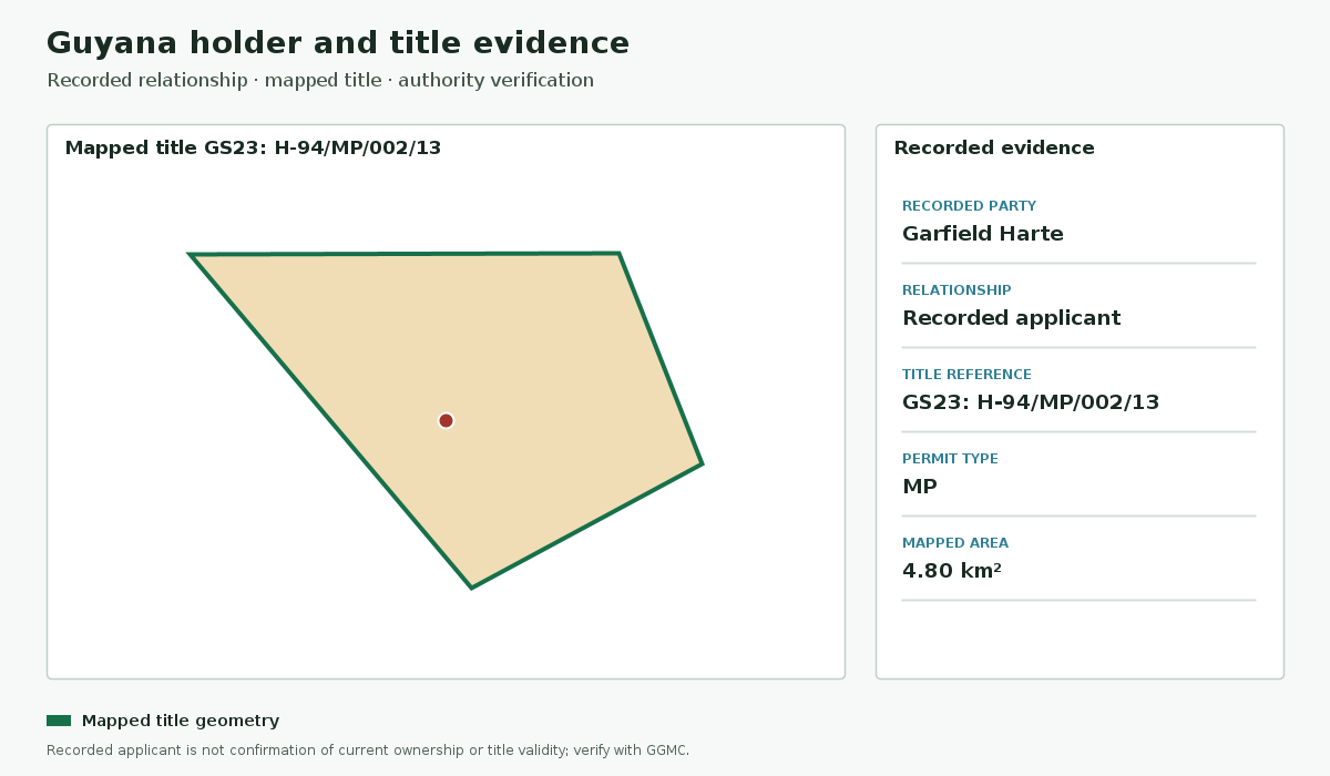
- The stored title geometry covers 4.80 km² and remains subject to cadastral and current-status verification.
02 · Mapped evidence
Recorded title and holder context
The mapped title supports relationship screening; it does not establish ownership or current validity.
03 · Claim and citation ledger
Evidence supporting this screen
Material statements are tied to a source or identified as an application-generated calculation.
Title referenceGS23: H-94/MP/002/13
Permit typeMP
Recorded relationshipRecorded applicant
Recorded partyGarfield Harte
Mapped area4.80 km²
Structured title record
Checked 24 Oct 2026, 19:56 UTC04 · Decision controls
Principal limitations
- The official applicant field is not proof of current ownership.
- Title status, transfers, encumbrances, and beneficial ownership require authority and registry checks.
05 · Next checks
Recommended follow-up
- Confirm current title status and recorded parties with the responsible mining authority.
- Check the generated date, source freshness, citations, and stated missing-data gaps before relying on a finding.
- Use current site-specific surveys, regulatory records, and professional advice for material decisions.